Wellington Transport Network
This university project treated Wellington public transport as a graph, using the same network to find routes and inspect the stops that held parts of it together.
University coursework. Graph and algorithm implementation within a supplied JavaFX framework.
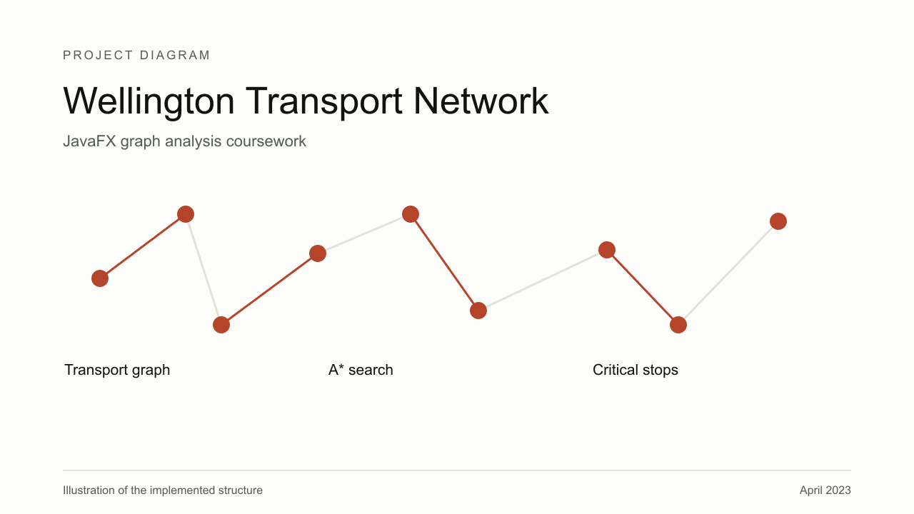
I worked from the stops and connections of the Wellington network, and the map gave the graph algorithms something recognisable to operate on, including walking connections within a chosen distance, with the walking edges changing the route graph while the critical-stop analysis used the relevant transport connections.
A* searched for routes between stops, while connected-component and articulation-point work examined a different property of the same graph, identifying separated parts and stops whose removal would break connectivity.
The project included tests and a JavaFX map interface, though the route and structural analyses answer different questions, which is why the results need their own views of the network.
The catalogue date follows the first preserved commit on 16 April 2023.
Outcome
A coursework implementation of route and network-structure algorithms, with a map interface and tests. The supplied application framework is distinguished from my algorithm work.